Timeline: 3 years
Funded by Government of the Netherlands
Objective
·
Sustainable model
using spatial and geodata to provide smallholder farmers with forecast
information and advisory services
·
Improve
agricultural productivity, increase farmers’ income & positively influence
cropping patterns
·
Modernizing the agricultural sector through ICT
·
Target to increase
farmers’ their income by producing more or reducing losses:
·
15% increase in
selling prices
·
20% increase in
yield
·
10% reduction in
direct input costs
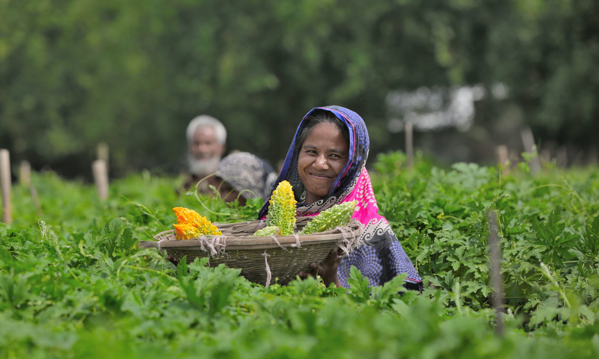
Target Area

The project targets 14 Northern districts
of Bangladesh
·
Panchagarh
·
Thakurgaon
·
Nilphamari
·
Lalmonirhat
·
Dinajpur
·
Rangpur
·
Kurigram
·
Gaibandha
·
Joypurhat
·
Naogaon
·
Nawabgonj
·
Rajshahi
·
Nator
·
Bogura
Partnerships
·
Lal Teer: partnership
coordination, content development and implementation at different levels and
platforms
·
Alterra: data
acquisition, analysis, and development of crop model
·
mPower: software,
programming and IT solutions
·
NEO: acquisition
and processing of satellite data for crop monitor
·
ICF: advisory
services for content development and crop model
·
Multisourcing: communication
& delivery platform
·
Unnayan Onneshan: Monitoring and evaluation
Key
Information Delivery
·
Advice related to
crop cultivation from sowing to harvesting, usage of inputs, etc.
·
Alert and
protective measures against adverse weather conditions
·
Prevention for
pest or disease attacks
·
“Intelligent” data
aggregator smart weather forecast on temperature, wind, rainfall, humidity, etc.
·
Satellite
observation for remote analysis
·
Monitor crop
pattern, crop rotation, and soil management
Service
Delivery Platform
·
Physical advising
·
SMS
·
Call center
·
Web and mobile
application
Business
Model
·
Basic Package
·
advisory SMS
service
·
10 minutes
Talktime
·
15 text messages
·
Krishi Radio
·
Premium Package
·
advisory SMS
service
·
20 minutes
Talktime
·
20 text messages
·
20 MB internet
·
Krishi Radio
·
Gold Package
·
advisory SMS
service
·
Crop/ life/ health
insurance
·
50 minutes
Talktime
·
100 text messages
·
500 MB internet
·
Krishi Radio
Key
Highlights of Activities
·
Supply of quality
seeds to the farmers
·
Field activities
(e.g. community meetings, field days) with farmers, govt. officials, NGOs for
promoting services
·
Extensive
marketing campaign and promotional activities in the project area and the creation of
lead farmer group
·
Linkage with the public and private sector for spreading service
·
Training for
mobile application usage and ICT – lead farmer/ dealer/ retailer/ extension
officers
·
SMS and call
center support for marketing activities
·
Advisory services through
mobile SMS, web, mobile application, call center, physical advising
·
Content
Development for 12 crops
·
Database for
881,000 farmers, for both field crops and vegetables
·
Android-based
mobile application development (4 crucial components)
·
FQS
·
Seed variety
recommendation
·
Geo area
information
·
Crop diagnostics
·
Crop model
development and integration of satellite data
·
Refinement of business
model for farmers
Key Achievements
·
Farmers directly
reached/ informed: 640,000
·
Farmers registered:
881,000
·
Land parcels
registered: 1,050
·
Farmers called by
call center: 33,500
·
Farmers calling
call center: 48,500
·
Farmers receiving
text message: 190,500
· Physical advising: 52,500
For more details: http://www.lalteergeobis.info/